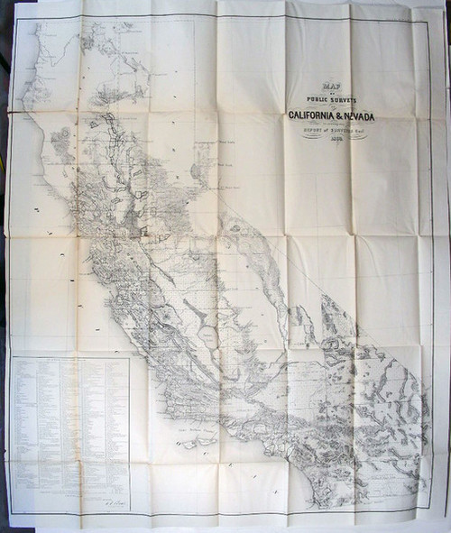
Mullan, Captain John; Miners and Travelers' Guide to Oregon, Washington, Idaho, Montana, Wyoming and Colorado Via the Missouri and Columbia Rivers Accompanied by a General Map of the Mineral Region of the Northern Sections of the Rocky Mountains. Wm. M. Franklin, New York,1865. Octavo, pp. 153, hand-colored fold out map titled "General Map of the North Pacific States and Territories Belonging to the United States and of British Columbia, Extending from Lake Superior to the Pacific Ocean and between Latitude 39 and 53 North. Exhibiting Mail Routes, Gold Mines and including the most Recent Surveys of the Topographical Bureau. Prepared by Captain John Mullan, late Superintendent of Northern Pacific Military Wagon Road & Commissioner of the Northern Pacific Rail Road." Map measures 39" X 25”.
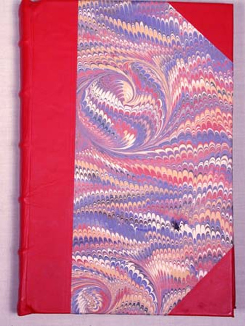
The work is complete and in the original brown pebbled cloth with ornately stamped borders. The binding is tight, light wear to upper and lower spine edges, light bumping to corners, light spotting to boards. The text is clean and bright, original owner’s name penned on first free end sheet with location being Helena, Montana. The map is clean and bright with crisp clean colors. In very good condition.
John Mullan (1830-1909) was an American Army officer, engineer and explorer. He graduated from West Point in 1852 and in 1853 joined Isaac Stephens Northern Pacific Railroad Survey to find a suitable rail route for a northwest passage from St. Louis to the Washington Territory. Not only did the Stevens Expedition establish several navigable overland routes into the Pacific Northwest, but also gave descriptions of vast mineral resources in the region.
Upon leaving the Stevens Expedition, Mullan was assigned the task of building a military road spanning over 624 miles, connecting Fort Benton in Montana, to Fort Walla Walla in Washington. Mullen explored western Montana and portions of southeastern Idaho, discovered and mapped what is now known as Mullen Pass and engineered and led the construction crew which built the “Mullen Road in Montana, Idaho, and Washington between the spring of 1859 and summer of 1860. Today Interstate 90 mirrors a large portion of Mullan’s route, attesting to his skills as a surveyor and engineer.
In his above report, Mullan furnishes a day-by-day itinerary of the route from Fort Benton, on the Missouri River, through the mountains to Walla Walla in Washington Territory. After these directions he continues with a general description of the mineral deposits and other resources of the entire region.


