Wheeler, George M.; Report of the United States Geographical Survey West of the One Hundredth Meridian…..Volumes 1, 3, 3-Supplement. Washington; Government Printing Office, 1881-1889. See below for pagination.
Wheeler (1842-1905) was an American Army officer, pioneering explorer and cartographer. He graduated from West Point in 1866, sixth in his class and was commissioned as a Lieutenant in the US Army Corps of Engineers and performed surveys in California and Nevada. Following the survey of California, Nevada, and Arizona, Wheeler developed a comprehensive plan to map regions west of the 100th meridian with the main objective being to obtain correct topographical knowledge of the country traversed. Officially designated the U.S. Geographical Surveys West of the 100th Meridian, the "Wheeler Survey" became one of four great federal surveys after the Civil War. While the other surveys had no military presence, army officers commanded Wheeler's parties and performed much of the astronomy required for detailed surveying. Civilian topographers performed most of the mapping for Wheeler, and civilian scientists did pioneering studies in geology, botany, paleontology, and archaeology. The three reports detailed here contain the results of the geological studies. The plates are quite stunning. The pagination and descriptions follow.
1. Wheeler, George M.; Report of the United States Geographical Survey West of the One Hundredth Meridian…..Vol. 1 Geographical Report. Washington; Government Printing Office. 1889. Large quarto, pp. 780, 38 plates, and three folded maps, tipped in errata at title page, Wheeler’s presentation slip tipped in.
This volume contains the first thorough geographical surveys of the regions surveyed including the Grand Canon. A wealth of knowledge is contained here including a memoir on all of the previous explorations from1500 to 1880. The volume remains an important reference work to this day.
2. Wheeler, George M., et.al.; Report upon United States Geographical Surveys West of the One Hundredth Meridian,… Volume III, Geology. Reports Upon the Geology of Portions of California, Nevada, Utah, Colorado, New Mexico and Arizona, examined in 1871, 1872 and 1873. In Six Parts. Washington, GPO, 1875. Large quarto, pp. 681, frontispiece, 13 plates, 171 text figures, tipped in errata.
This volume contains the six reports by G. K. Gilbert, A. R. Marvine, E. E. Howell, J. J. Stevenson, and O. Loew. Gilbert’s reports cover parts of California, Nevada, Utah and Arizona and New Mexico. Marvine’s report describes the geology between St. George, Utah and the Gila River in Arizona. Howell’s report covers parts of Utah, Nevada, Arizona and New Mexico. Stevenson’s report covers parts of Colorado. Howell’s report is focused on the mineralogy in the regions and includes a table of mineral specimens and their localities.
3. Wheeler, George M., et.al.; Report upon United States Geographical Surveys West of the One Hundredth Meridian,… Volume III - Supplement - Geology. Geological Examinations in Southern Colorado and Northern New Mexico, during the years 1878 and 1879, by John J. Stevenson. With an appendix upon the Carboniferous invertebrate fossils of New Mexico, prepared by C.A. White.. Washington, GPO, 1881, Large quarto, pp. 420, xviii, 4 plates, 3 colored geological maps in pocket, 49 text illustrations.
This volume contains the first detailed geological mapping of the region from Trinidad, Colorado to Los Alamos, New Mexico. Chapters describe the physical features of the region, structural geology, stratigraphy including the Archaean, Carboniferous, Mesozoic and Tertiary rocks as well as the surface geology including the drainage features of the Purgatory, Canadian, Mora and Rio Grande Rivers. Also covered are details on the mineral deposits of the region.
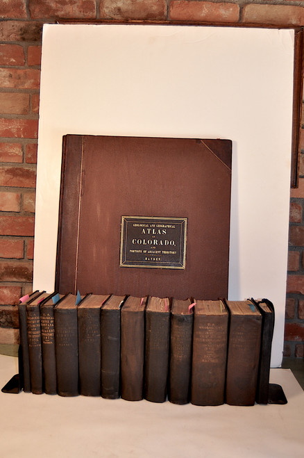
CONDITION. The three volumes are complete with all plates and maps present including the three folded geological maps for Wheeler’s Atlas which are in the rear of the Geology-Supplement volume. All three volumes are in the original stamped brown cloth with gilt spine titles and vignette. The bindings are tight and clean, the titles are bright. The spine to the supplement volumes has light sun fading. Early private owner’s book plates are on the paste down to two volumes. The supplement volume has a very faint tide mark in the outer third of the text. This is very faint but is present. The text and plates in the other two volumes are exceptionally clean. No library stamps or markings are present in the volumes. A remarkably fine set of the geography and geology reports for a major survey of the west.
FOR OVERSEAS SHIPPING PLEASE REQUEST A QUOTE.


